Route

Route
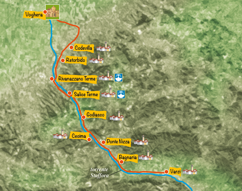
The Greenway Voghera-Varzi connects the two main towns of western Oltrepò Pavese, following the entire valley of the Staffora stream. The cycling and walking path can ideally be divided into two sections: the first, from Voghera to Salice Terme, runs through the plains, while the second gently climbs the Apennine hills from the spa town to the ancient medieval village of Varzi, officially part of “The Most Beautiful Villages in Italy” network.
Plain Section: Voghera to Salice Terme
The Greenway begins at Voghera train station — ancient Iria — where visitors are welcomed by a medieval town layout, the Visconti Castle, the grand Cathedral, and numerous artistic, cultural, and culinary attractions. Historically, Voghera marked the border between the Augustan regions of Emilia and Liguria during Roman times. The Staffora River, which crosses the town, takes its name from the Lombard word “Stafula,” used to designate border markers between the dioceses of Piacenza and Tortona. Voghera also stood at the historical boundary between Piedmont and Lombardy, making it a key commercial hub still today.
After a short urban section heading east — alternating between dedicated and mixed-use paths — the Greenway crosses the Staffora River and enters open countryside. Here, it intersects several accessible dirt roads where one might spot hares or squirrels among the local wildlife.
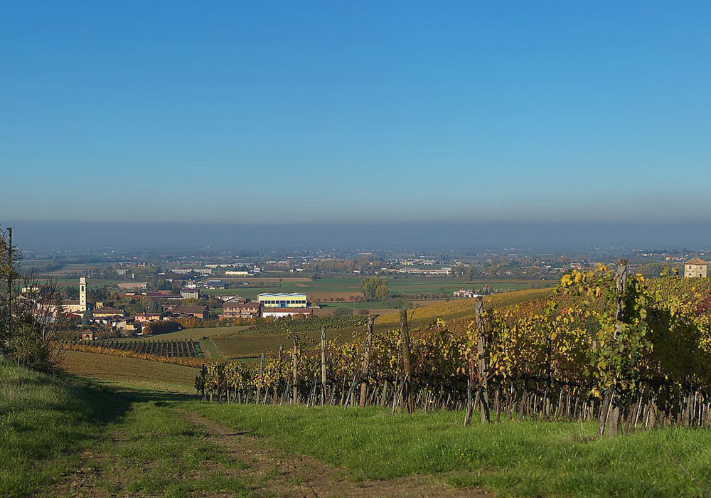
The trail crosses the SP33 road and continues its wide southward curve along SP1, staying entirely on a dedicated path. The route reaches the foot of the hills at Codevilla (146 m a.s.l.), skirting the village and offering panoramic views of the vineyards that produce the fine wines of Oltrepò Pavese and the hilltop fortress of Mondondone.
Don’t miss the chance to visit the nearby wine cellars along the way.
Surrounded by vineyards, the Greenway reaches Retorbido (169 m a.s.l.), a town known for its sulfur springs, castle, and the local legend of the clever farmer Bertoldo, honored every March during the traditional Polentone Festival.
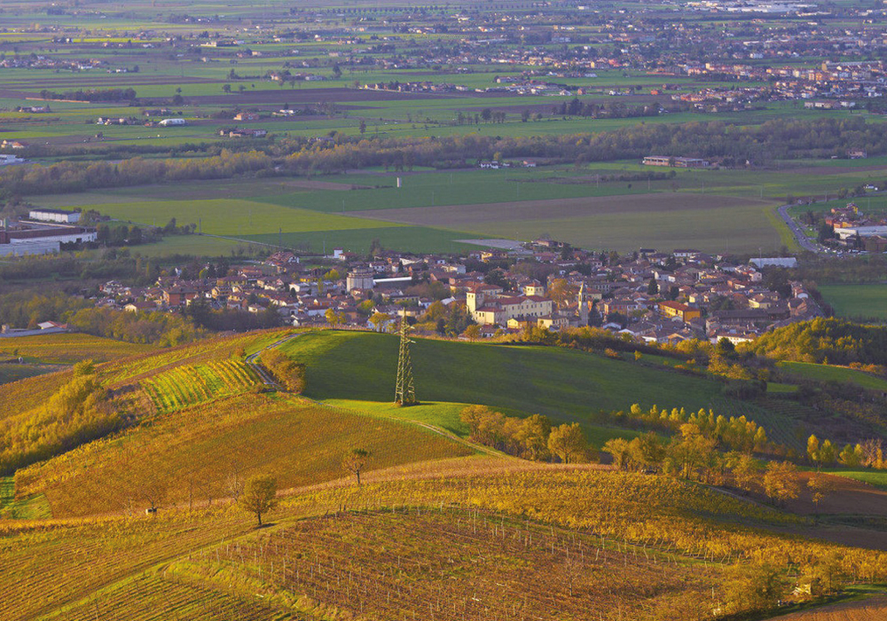
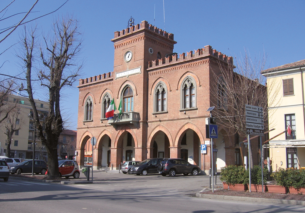
Narrowly nestled between the Staffora and the slopes of Mount Nazzano, the route then enters Rivanazzano Terme (153 m a.s.l.), beginning a short mixed section crossing SP1 near the roundabout and the Staffora bridge. It soon turns left into the Mezzacane gardens, opposite Brugnatelli Park. Known in the Middle Ages as Vico Lardario, the town features a unique pentagonal tower and the parish church of San Germano.
After leaving Rivanazzano Terme, the trail follows the left bank of the Staffora River to Salice Terme. After a brief urban stretch, the route crosses the river again to its right bank, just beside the former train station — now a restaurant, inn, and shop selling local artisanal products. This is where the Apennine section begins.
Apennine Section: Salice Terme to Varzi
From Salice Terme (180 m a.s.l.), a spa destination since Roman times, the second section of the Greenway climbs along the left bank of the Staffora. Before reaching Godiasco, one passes the old power station that supplied electricity to the trains and the site of a former military fuel depot, operational from 1953 until the late 1980s.
In Godiasco (196 m a.s.l.), the trail skirts the historic village center, beneath the remains of the castle walls now integrated into the townscape, and enters Eugenio Montale Park. Exiting the village, it crosses the Ardivestra stream on a former railway bridge, parallel to the state road bridge.
As the valley narrows, the path continues to San Desiderio, a hamlet of Godiasco, and a few kilometers later reaches Casa Cucchi, part of the municipality of Cecima.
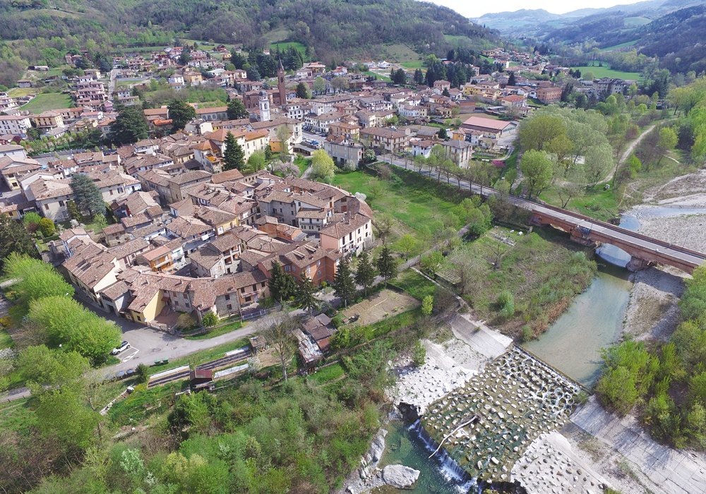
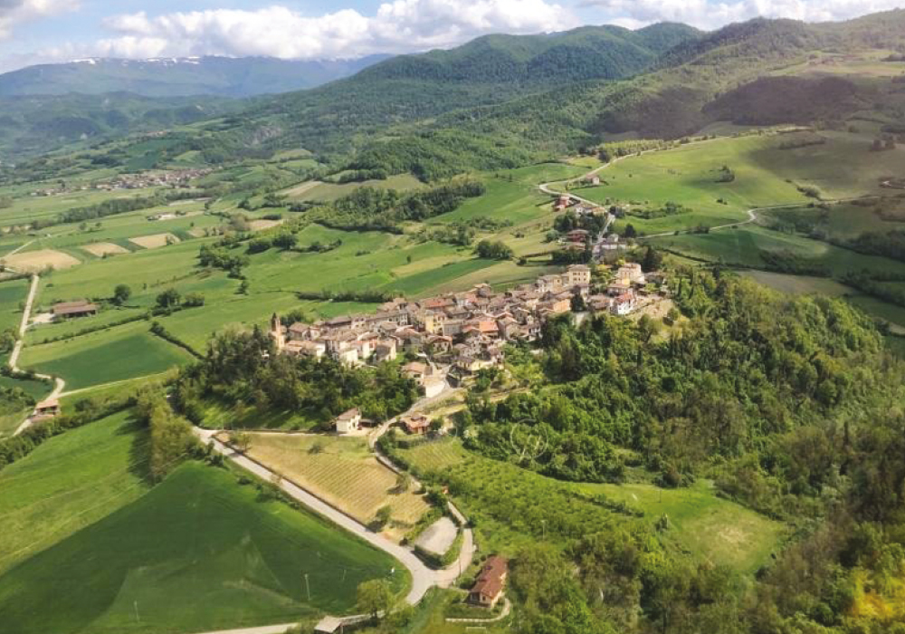
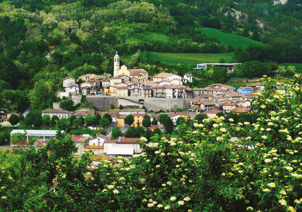
A wide right turn leads to Ponte Nizza (267 m a.s.l.), where the Staffora meets the Nizza stream, which carves a lateral valley. From here, visitors can reach the Oramala Castle, built by the Malaspina family around the year 1000. The old railway bridge over the Nizza remains in use today.
In Ponte Nizza, where the old station once stood, a new visitor center now welcomes hikers and cyclists. A museum dedicated to the historic railway is also located here.
Four kilometers further, the route enters Bagnaria (333 m a.s.l.), known as “Balnearia” in Roman times. The path winds between the provincial road and the Staffora, in a narrow strip of land that becomes increasingly slender as it approaches Varzi. A drinking fountain is available near the local produce market for a refreshing stop.
At the far end of Bagnaria, the Greenway passes through Ponte Crenna, the final hamlet before entering the municipality of Varzi (416 m a.s.l.), located approximately three kilometers away.
GPX Track
The GPX route of the Greenway Voghera–Varzi is available at:
https://sentierioltrepopavese.it/it/resource/statictrack/greenway-voghera-varzi/